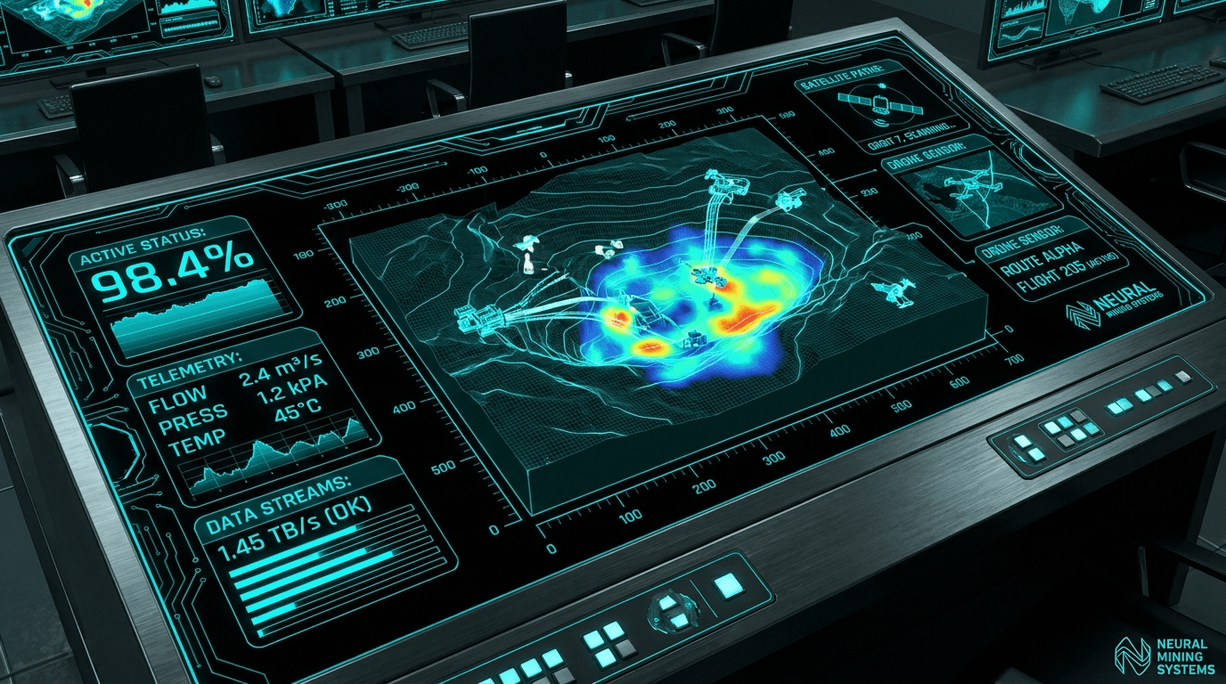
See the whole operation, from ground to orbit.
One platform that fuses on-site AI vision, drone survey, and satellite intelligence into a single live model of your operation.
Nexus unifies on-site vision, aerial survey, and satellite intelligence into one operational picture, engineered for the world's most demanding industrial operations.
One platform. Every sensing layer.
Modular, interoperable capabilities that share a single AI pipeline. Deploy one, or run the full stack.
- Explore
AI Vision
Computer vision for the physical world.
- Explore
Satellite Intelligence
Insight from orbit, InSAR & multispectral.
- Explore
Drone & Aerial
The layer between ground and orbit.
- Explore
Automation & Software
Turn data into action.
- Explore
Data Platform & Digital Twin
One live model of your operation.

One model across ground, air, and orbit.
Any single source has blind spots. We fuse all three layers into one live digital twin, so a detection on the ground is reconciled with a drone survey and a satellite pass, automatically.
Edge AI Vision
On-site cameras run inference at the edge. PPE, intrusion, vehicles, and zones are detected in real time, online or offline.
Drone & Aerial Survey
Photogrammetry and stockpile volumetrics bridge the gap between ground sensors and orbital imagery.
Satellite Intelligence
InSAR and multispectral analysis deliver tonnage, slope stability, and change detection from space.

Built for the world's most demanding terrain, from the South Gobi to low-earth orbit.
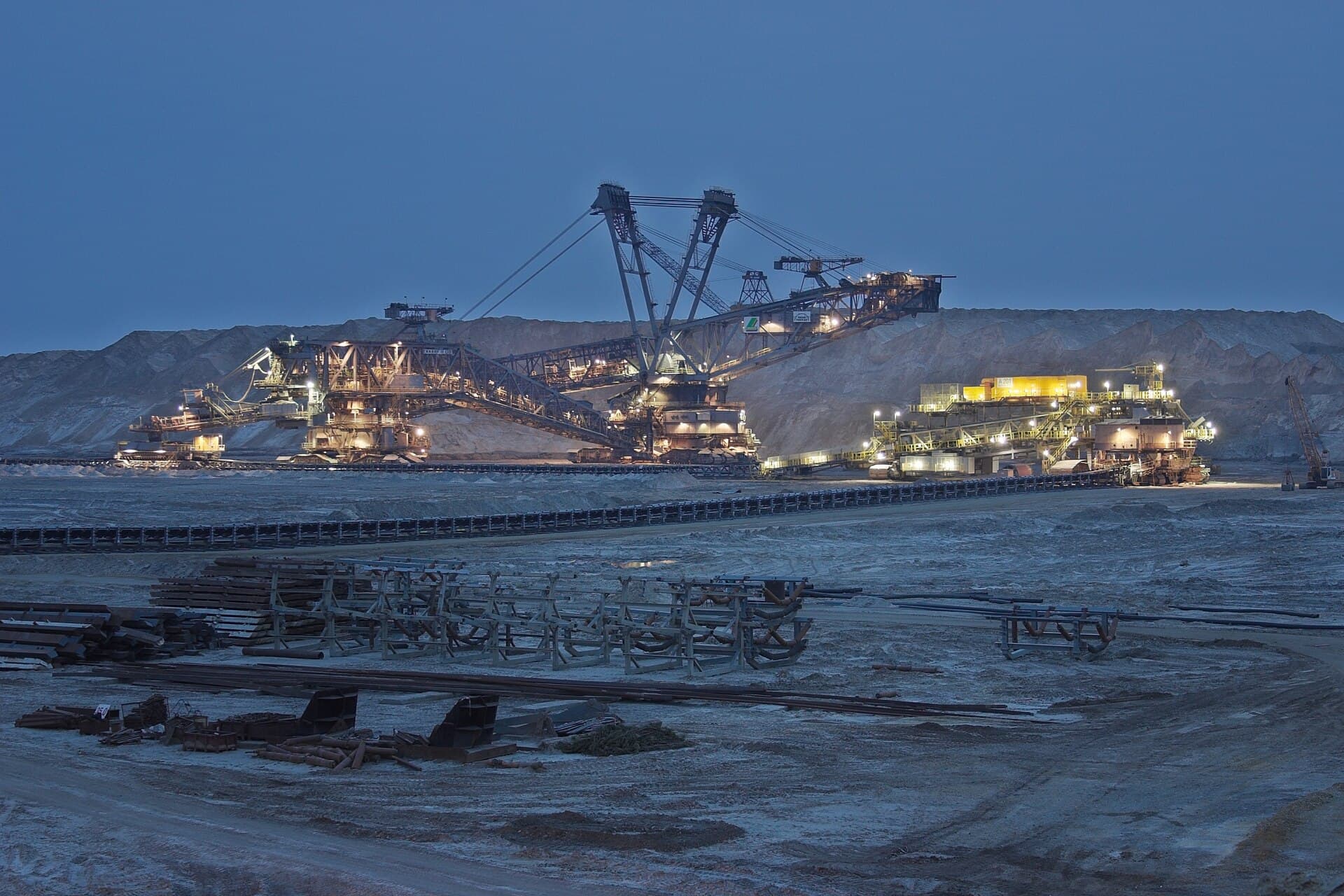
Proven in the pit.
An open-pit coal operation in Mongolia turned five disconnected problems into one live model, and paid back the platform inside a quarter.
- Recovered contractor billing
- Reduced fuel variance
- Higher PPE compliance
- Returns within a quarter
Same platform, tuned to your sector.
Mining is our proven flagship. The architecture extends across every heavy, distributed operation.
Mining
Open-pit safety, fleet, billing, tonnage, and slope stability, unified into one live model of the operation.
- Safety & PPE
- Fleet & fuel
- Tonnage
- Slope stability
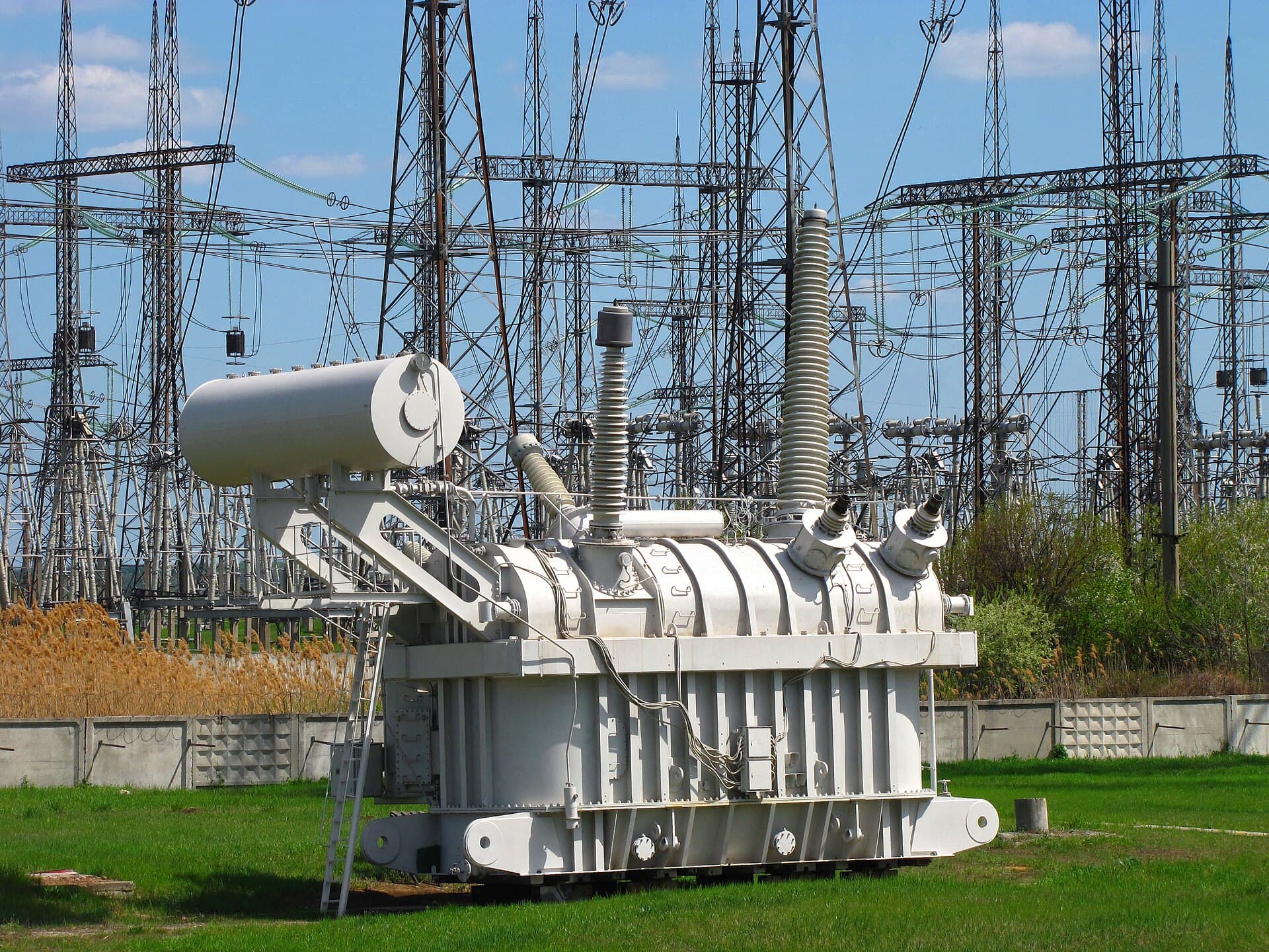
Energy & Utilities
Grid, pipeline, and substation integrity, monitored from corridor to control room for faults before they become outages.
- Corridor monitoring
- Ground deformation
- Asset inspection

Construction & Infrastructure
Objective progress, earthworks volumes, and site-wide safety, captured as dated, defensible evidence.
- Progress tracking
- Earthworks volumes
- Site safety
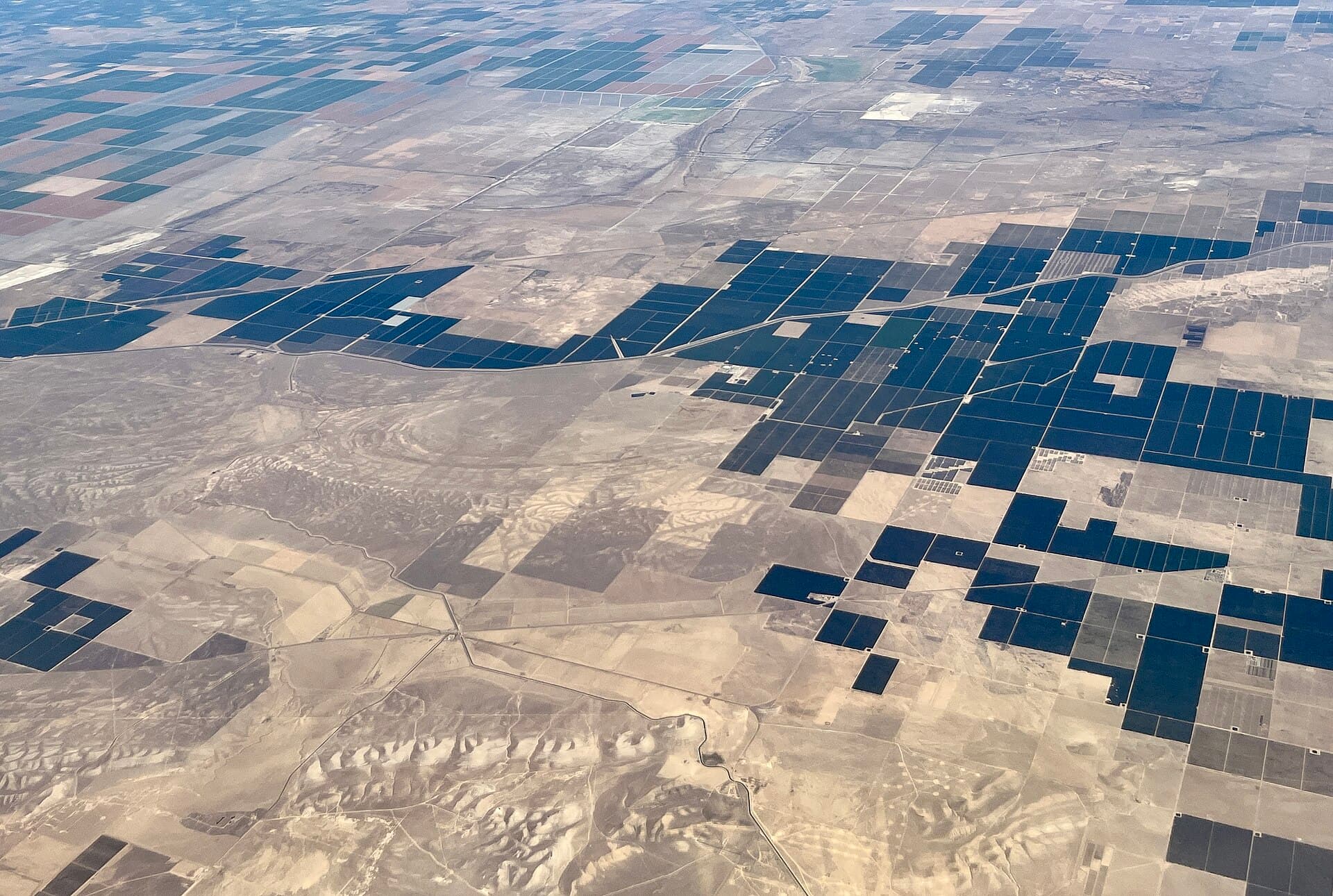
Agriculture & Environment
Crop health, water, land use, and compliance, made measurable from orbit and air across every hectare.
- Crop health
- Water & irrigation
- Compliance
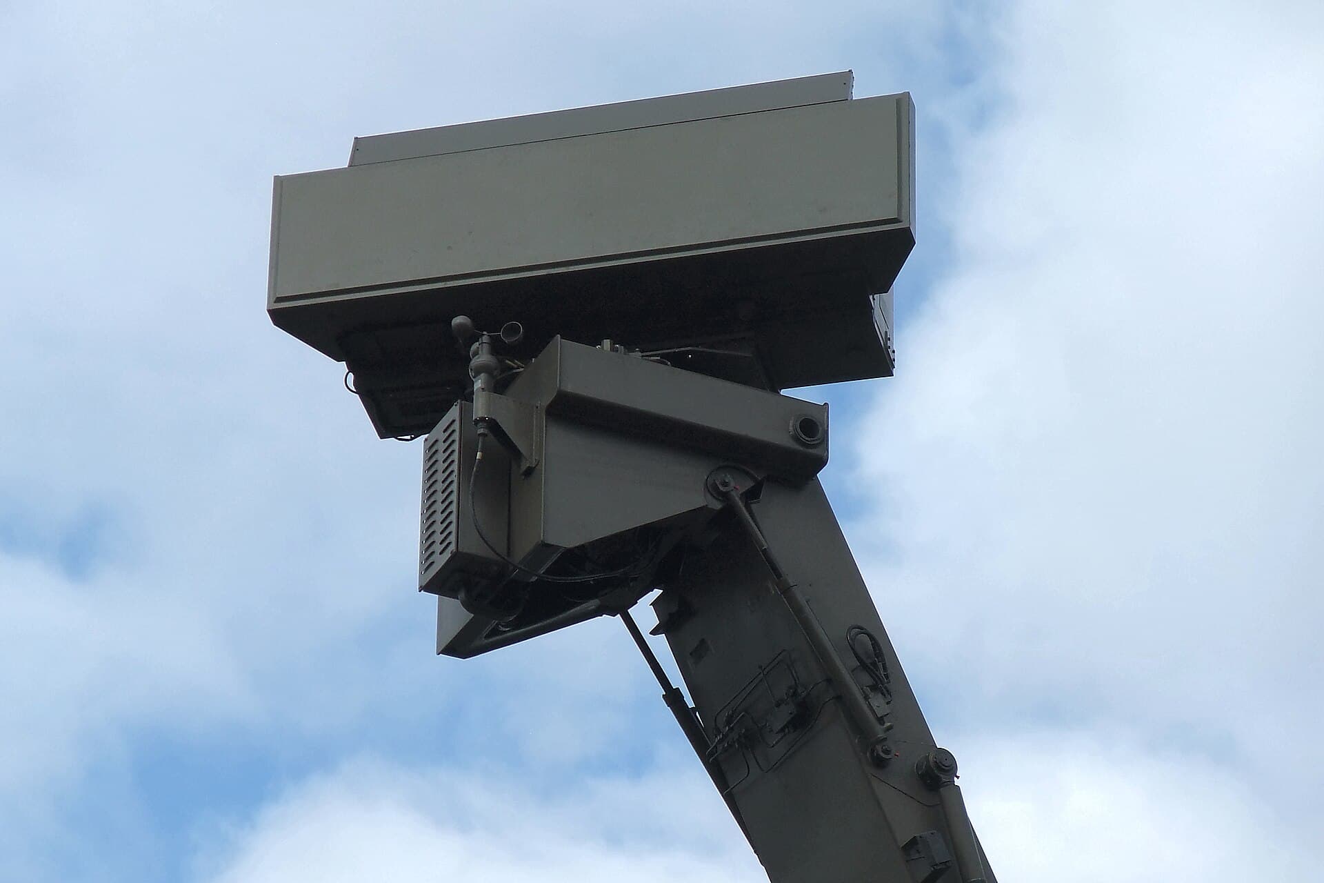
Defense & Security
Perimeter security, ISR, and critical-asset protection, fused into one common operating picture.
- Perimeter security
- ISR & tracking
- Common picture
Sense. Understand. Act.
A closed loop that runs continuously, on-site, even when connectivity drops.
Sense
Capture every layer, ground cameras, aerial drones, and satellite passes, into one continuous feed.
Understand
AI models fuse the signals into a live spatial-temporal model: detections, volumes, movement, and anomalies.
Act
Alerts, dashboards, and automated workflows turn insight into decisions, before the shift ends.

“Nexus gave us a single source of truth for the whole pit. We see a safety breach, a fuel anomaly, and a tonnage shift on the same screen, and we act before the next shift.”


Put your operation on one screen.
Book a demo and we'll map your sites, sensors, and workflows onto the Nexus platform, and show you the fastest path to value.