Industry · Agriculture & Environment
Monitor large areas without depending only on field inspection.
Nexus combines satellite, drone, sensor, weather, and field data to track land and environmental conditions over time.
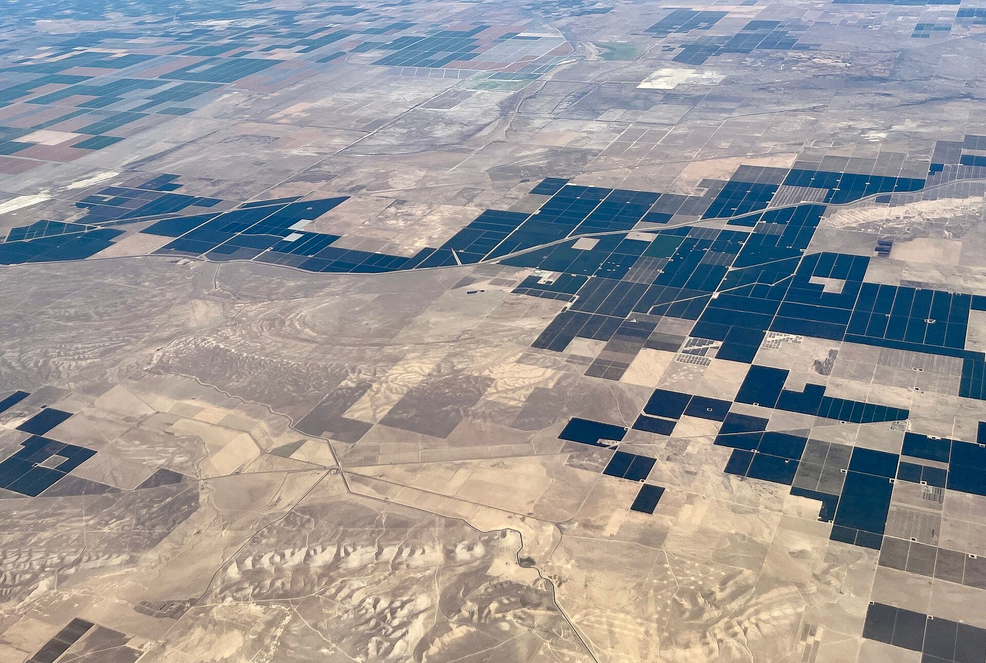
The sector problem
Too much land to inspect on foot.
- Large areas cannot be inspected frequently enough on foot.
- Crop stress, water issues, erosion, or non-compliance may spread before they are reported.
- Historical evidence is fragmented across maps, surveys, and documents.
Relevant capabilities
Relevant solutions
- Crop-condition monitoring
- Water and irrigation
- Land-use change
- Rehabilitation
- Erosion and dust
- Environmental sensors
- Satellite change detection
- Drone surveys
- Time-stamped reporting
- Management zones
Define the area and the condition you need to track.
We will select the appropriate field, aerial, or satellite data sources.